Community Corner
'Active Weather Patterrn' Includes 'Continuing Uncertainty'
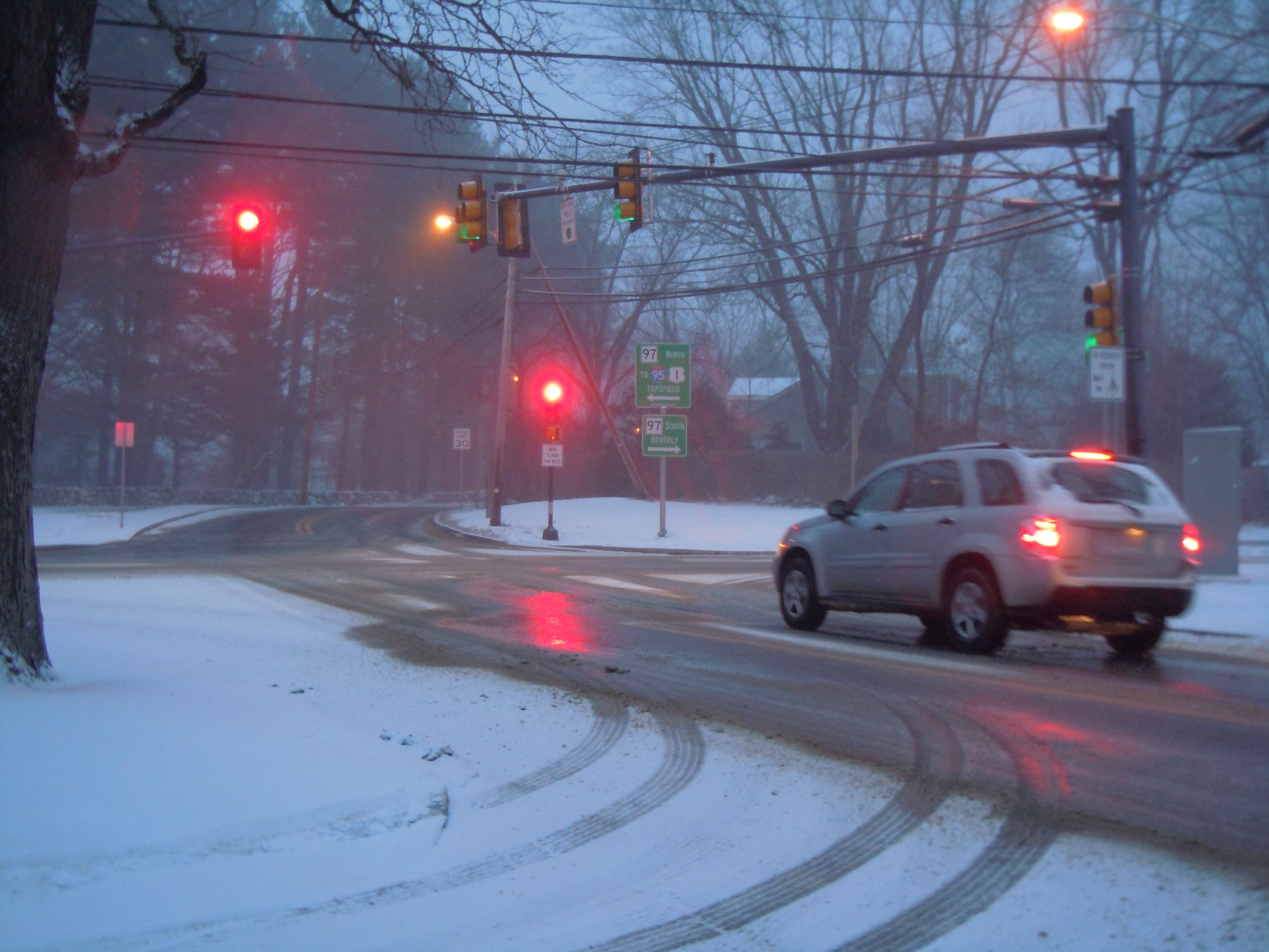
Three storm, all with a chance for slight snow snow accumulation but mostly rain storms, are headed toward the two towns during the next few days.


An active weather pattern starts on Sunday and will continue through the middle of next week, according to the National Weather Service.
On Sunday, there is "better forecast agreement" but there is "continuing uncertainty" for the forecast midweek.
Most of the precipitation is forecasted to be rain in Hamilton and Wenham. Starting on late Sunday morning, the first storm may start as snow but changeover to rain. Possibly up to an inch of snow and possible ice accumulation will happen in areas to the north of the Massachusetts Turnpike and west of the I-495.
Find out what's happening in Danverswith free, real-time updates from Patch.
There is no more than an inch of snow is expected in Danvers.
A second storm will roll in on Monday night through Wednesday. It will be a coastal storm that will mostly be rain. It is forecasted to possibly be the opposite of the weekend storm, where it could end with some snow on Tuesday night into Wednesday.
Find out what's happening in Danverswith free, real-time updates from Patch.
But the track of the storm "remains uncertain," the National Weather Service said.
The storm is also forecasted to include strong winds along the coast. Beach erosion and and minor coastal flooding is also possible along the coastline on Monday and Tuesday.
And again on Thursday night into Friday, there is another chance for rain or snow. Again, the National Weather Service said "specifics remain uncertain at this time."
Get more local news delivered straight to your inbox. Sign up for free Patch newsletters and alerts.