Community Corner
Friday's 15-20 Inches of Snow Could be Most in Two Years
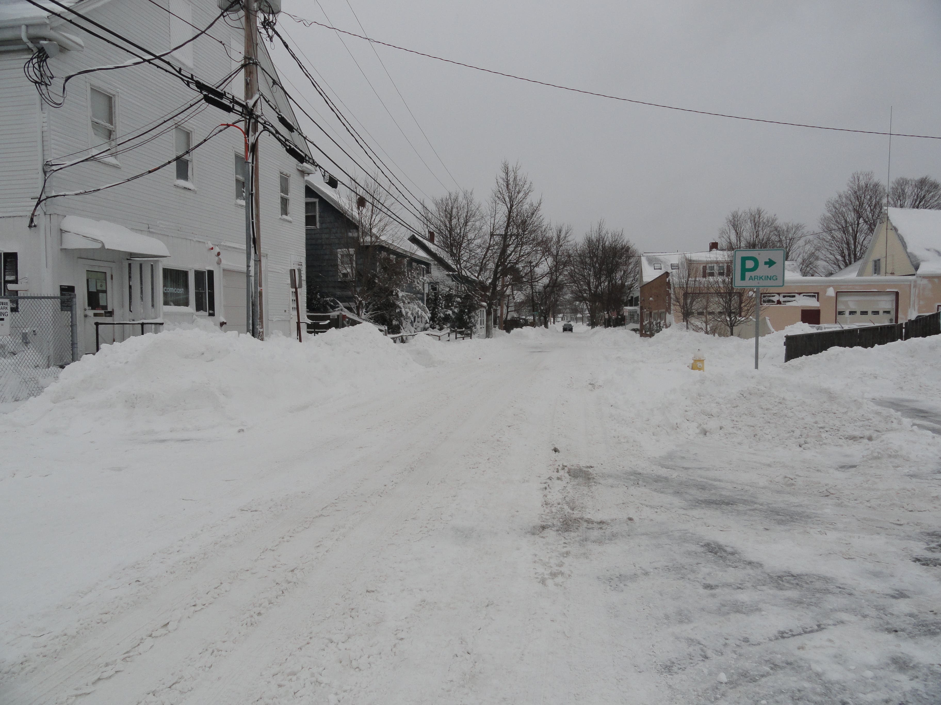
There is a potential for significant snow accumulation with a snowstorm slated to move in on Friday.


It’s still two days away, but weather forecasters are already sounding the alarm about a snowstorm headed our way on Friday that could the the largest since Boxing Day in 2010.
The storm is forecasted to arrive two days after the 35th anniversary of the Blizzard of 1978.
While Friday’s storm will be nowhere near the legendary storm in the late 70s, forecasters say it could leave anywhere between 15 and 20 inches of snow in our area, and be the largest storm to hit the area since the day after Christmas in 2010.
Find out what's happening in Danverswith free, real-time updates from Patch.
“I think it's time to prepare for the biggest storm since December 26th and 27th of 2010,” WHDH-TV chief meteorologist Pete Bouchard writes in his latest blog post. “For the snow hounds, your ship might have finally come in.”
Bouchard said there are several factors that lead him to forecast a large storm, including the cold air that is in place and “there is a tremendous amount of energy shooting into the storm”
Find out what's happening in Danverswith free, real-time updates from Patch.
In the National Weather Service's Winter Storm Watch, they say there is the potential for a foot of snow in Danvers.
At noon Wednesday, WHDH meteorologist Jeremy Reiner bumped the figure up to 15 to 20 inches.
The storm is expected to start on Thursday evening and last until early Saturday.
“There is the potential that the storm may linger into the day on Saturday,” the weather service said.
In addition to falling snow, though, the winds will gust causing blowing and drifting snow. The weather service said the wind will blow at 10-20 miles per hour with stronger gusts possible.
Get more local news delivered straight to your inbox. Sign up for free Patch newsletters and alerts.